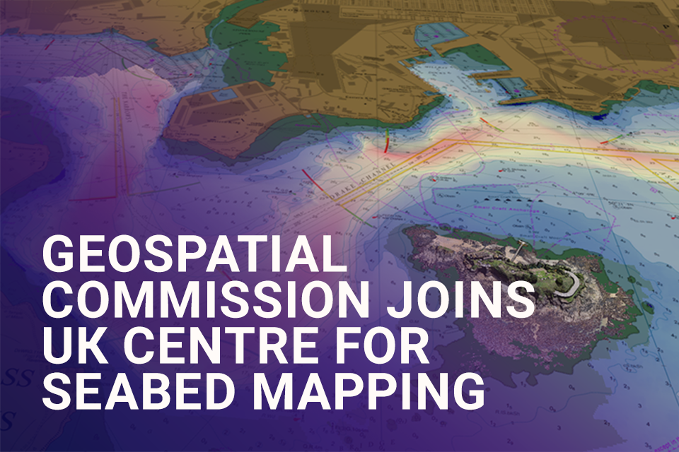
The Geospatial Commission had today (Wednesday 20 March) become the 33rd member of the UK Centre for Seabed Mapping (UK CSM).
The UK CSM, which is administered by the UK Hydrographic Office (UKHO), was created in June 2022 to spearhead a coordinated approach to the collection, management and access of seabed mapping data and to champion a more integrated marine geospatial sector in the UK. Existing UK CSM members include the Ministry of Defence, Royal Navy, Scottish Government, The Crown Estate and Welsh Government.
Quality marine geospatial information is crucial for almost every activity undertaken in the marine environment, including trade, informing sustainable environmental and resource management, and supporting national security and infrastructure.
The UK is a world leader in seabed mapping and the UK government alone invests in over 30 public sector organisations to collect and use it. The UK CSM supports the seabed mapping community to collaborate and coordinate the collection, management and access of publicly funded data.
Sarah Hodgetts, Director, Geospatial Commission said:
The UK CSM plays a crucial role in driving up the quality and accessibility of seabed data that is needed for marine trade, environmental and resource decision making and to support national security. I am delighted that the Geospatial Commission has joined UKHO and the other members to work together to optimise the opportunities of our world-class seabed mapping capabilities and data resources.
David Parker, UK CSM Programme Director, UK Hydrographic Office said:
We are delighted to welcome the Geospatial Commission as a member to the UK CSM. This demonstrates the traction already achieved by the member organisations, who together promote the importance of seabed mapping for our national infrastructure and security. The UK CSM provides the opportunity for collaboration and knowledge sharing between members and those with a vested interest in the marine environment, as we strive to increase the coverage and access to quality marine data.
The Geospatial Commission has signed a Memorandum of Understanding (MoU) with UKHO, on behalf of UK CSM. The MoU sets out the Geospatial Commission’s commitment to work with the UK CSM and its members in achieving its remit.